

SYLACAUGA, Ala. – Social media has been buzzing about the possibility of snow with the expectation of freezing cold in the coming week, and the National Weather Service (NWS) is calling it out for the speculation it is.
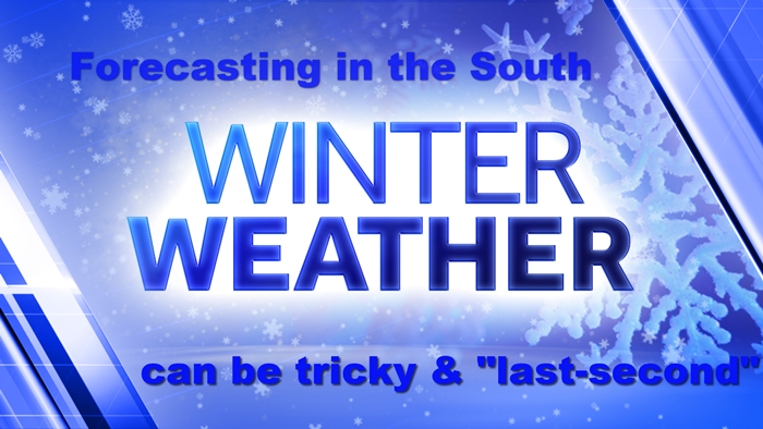
The NWS points out that snow in Alabama is quite tough to predict, often depending on the right timing of the arrival of cold air along with moisture in place. Most often, precipitation moves out before cold air arrives. Then, there’s the question of whether cold has been in place long enough to support any form of accumulation of freezing precipitation.
Yet, as social media is quick to point out, the possibility of a spell of below-average cold is over a longer-than-normal duration – several days in the coming week that could include possible brushes with wintry precipitation.
Later in the week, in the Thursday to Friday timeframe, those chances remain. The National Weather Service calls it speculation.
What happens depends on the track of the surface area of predicted low pressure systems and, of course, timing. Right now, weather models are trending toward a more northern track, keeping our area on the warmer side with more rain.
That’s always subject to change right up until the last minute.
Hang on and stay tuned to your favorite RadioAlabama station, so you’ll be prepared as the situation gets clearer in the coming days. Also, leave some bread and/or milk for the rest of us, please. You know, just in case we need it later in the week.


