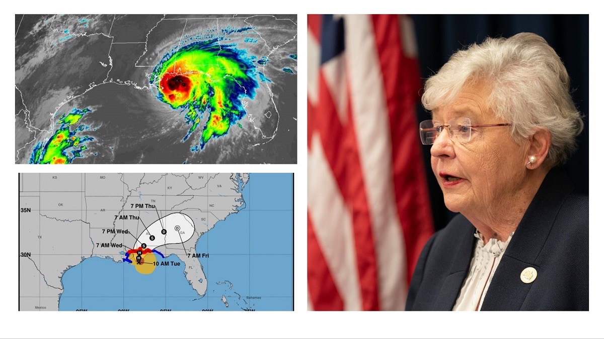
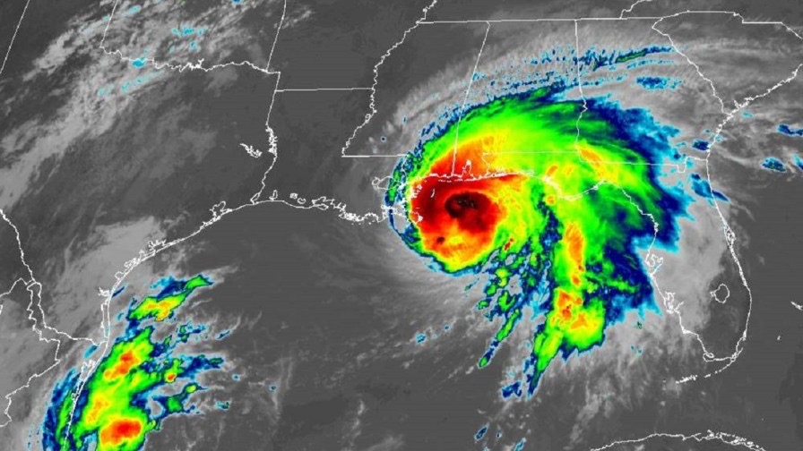
MOBILE, Ala.- Alabama Gov. Kay Ivey was joined by weather and emergency officials at a press conference today warning that, although Hurricane Sally may not have the destructive winds of other storms to hit the state’s Gulf Coast, the dangers posed by heavy rains and storm surge could be unlike anything seen in our lifetime.
“We are looking at record flooding – perhaps breaking historic levels – and with rising water comes a greater risk for loss of property and life,” she said. “Sally has the potential to inflict major damage along our Gulf Coast and even further northward as it moves.”
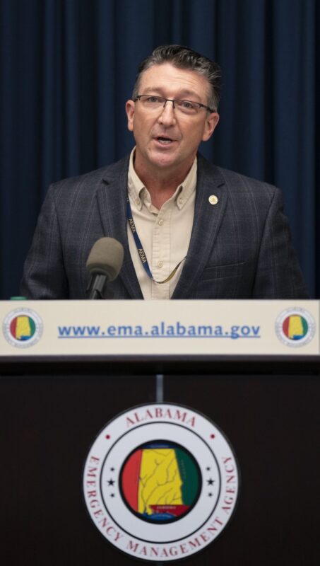
Ivey was joined by Alabama Emergency Management Agency Director Brian Hastings and John De Block, warning coordination meteorologist with the National Weather Service. Both shared the governor’s concern for flooding.
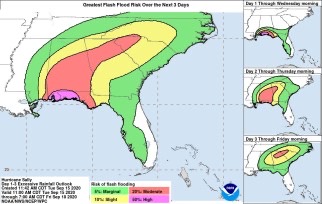
“Sally is shaping up to be a very dangerous and historic flooding event from the coastal counties along I-65 and the I-85 corridors,” Hastings said. “If you are in a low-lying area or a flood-prone area, get to a safer place and higher ground now before you see impacts.”
Ivey has authorized the activation of some Alabama National Guard units, and Hastings said high water evacuation teams are activated in Mobile and Baldwin counties.
In addition, Hastings said mutual assistance swift-water rescue teams are on alert and FEMA and other partners have already offered search and rescue assistance if needed.
Hastings said there are two shelters open in Mobile County with one on standby and one shelter open in Baldwin County.
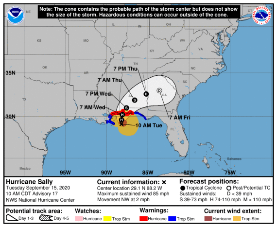
Though Hurricane Sally has weakened from a Category 2 to a Category 1 storm, De Block said storm surge and heavy rains remain a dangerous mix.
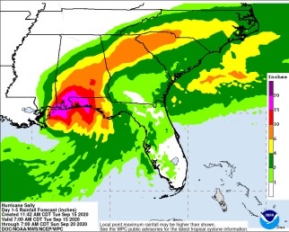
“Record flooding is very well possible in Mobile and Baldwin county areas – 10-15 inches of rainfall, locally higher amounts,” De Block said. “Combined with the storm surge will make drainage a challenge so any water that falls is going to be really prohibited from going downstream as fast as it normally would.”
“Right now the projected path is right up Mobile Bay,” he said. “If this forecast continues to shift to the east – and it very well may – that will decrease the amount of storm surge that is encountered in Mobile Bay, which will be good news for them.”
De Block also cautioned against tornadoes, which will be a threat as Hurricane Sally moves inland.
Hastings said Alabamians should be prepared for power outages because it may not be possible for Alabama Power and other crews to restore power immediately if conditions are not safe to do so.
“You own the first 72 hours, so make sure that you have food, water, batteries and a way to connect with assistance,” Hastings said.
He also called on those in the state to be open to assisting others.
“Please connect and stay in touch with your neighbors,” Hastings said. “The power of Alabama is Alabamians taking care of Alabamians, so social cohesion matters.”
Ivey closed Alabama’s beaches Monday and although she has not ordered forced evacuations, she has strongly urged those in low-lying areas to seek safer shelter.
Ivey said President Donald Trump’s administration has offered assistance and has granted a pre-landfall Emergency Disaster Declaration.
“As we continue making preparations for Hurricane Sally to impact Alabama, I thank President Trump and his administration for approving our request so quickly,” she said.
While the state braces for the worst, Ivey said she hopes for the best.
“Having once lived in Mobile, I’m well aware that those who live on the Gulf Coast are all-too familiar with Mother Nature’s wrath,” Ivey said. “We still hope and pray that Sally will not bring that kind of pain and heartache.”
This story via AlabamaNews Center.

